
Dallas Block Records: Start Here
Public records can describe a Dallas block from several angles. For Dallas neighbors, a parcel polygon is strong geography: it shows which tracts touch. A DCAD account connects a parcel with an owner name, mailing address, situs, and legal description for appraisal purposes. A Clerk instrument identifies recorded parties. A same-edition directory can place a name at a printed address in that year. Dallas neighborhood maps show civic context. None of these sources supplies a universal, current list of people at every nearby address, so each result needs a narrow description of what it actually establishes.
| Dallas block source | What it can show about the block | Access route |
|---|---|---|
| DCAD or County GIS parcel map | Touching polygons, roads, boundaries, and nearby account locations | Free map viewer |
| DCAD appraisal account | Owner name, situs, mailing address, legal description, and exemptions | Free property search |
| County Clerk official records | Recorded parties, instrument numbers, dates, and legal descriptions | Free index; image or copy route |
| Texas election records | Registration or election-related evidence with date and protection limits | Official lookup, county contact, or request route |
| Directories and neighborhood sources | Dated printed address context or association boundary context | Library, archives, or map source |
Owner and occupant are not interchangeable. A DCAD mailing address can be outside Dallas County, an account can name an entity, and a deed party can be a trustee or estate. Start with the physical block, then label each finding as parcel, appraisal, recorded, election, historical-directory, or community evidence.
Map Dallas Block Parcel Records
Define adjacent before collecting names. The Dallas method uses the target parcel, each polygon that touches it, and any road, rail, water, or other feature that separates tracts. A corner lot, an alley parcel, or a rear unit can have a second situs address. The closest house number may therefore be across a street or behind another tract instead of next door. This distinction prevents Dallas neighbors from being grouped by the nearest number alone. Map scale, layer date, and the road centerline matter when deciding which parcels belong in a block-level research set.
Block flow: address → DCAD account and situs → target polygon → touching polygons and barriers → adjacent account IDs → owner and legal-description comparison → Clerk index or dated directory confirmation.
The DCAD GIS and data-products page is the source for the parcel and neighborhood layers shown below.
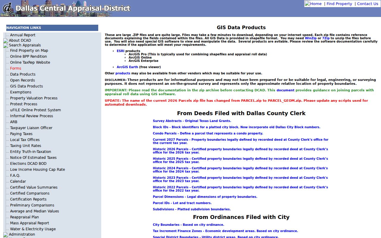
Historic parcels and map layers are useful context, but a recorded deed remains the legal source for a boundary question.
Dallas Parcel Record Address Checks
For each parcel, compare the situs address with the owner mailing address before treating either as a clue. The situs is the physical location on the map. The mailing address is where DCAD sends appraisal or tax correspondence. In the research sample, the situs is in Carrollton, the mailing address is in Richardson, and the account owner is an LLC. That combination illustrates why a name on an appraisal card is not proof that a person lives at the property.
- Situs
- The physical parcel location used by DCAD and the map.
- Owner mailing address
- The correspondence address on the appraisal record, which can differ from the situs.
- Legal description
- The recorded land description, often using subdivision, block, lot, acreage, or abstract terms.
- Parcel ID or account
- The identifier that makes an appraisal record repeatable across map and account views.
Homestead or exemption information may show an owner-related appraisal status, but it does not establish current physical presence. Use the legal description to compare a DCAD account with the Clerk index. When several units share a street number, check building and suite fields rather than assuming they are one household.
Note: Preserve the account number and legal description with a block note, because a parcel can later split, combine, or receive a different address.
Dallas Deed Records Around a Block
Once an adjacent parcel has a legal description or owner name, the Dallas County Official Records Search can test its recorded history. Select a department first. The Quick Search accepts a grantor or grantee, subdivision, document type, or document number, with a recorded-date range. Search the same parcel description and party names separately. Save the instrument number, recorded date, document type, and each party role. These details identify a recorded transaction, not necessarily a move date or a person currently at the address.
| Recorded-party clue | Careful reading for a Dallas block |
|---|---|
| Grantor | A party conveying an interest, not a verified former occupant |
| Grantee | A party receiving an interest, not automatic proof of present residence |
| Instrument number | The identifier to use for an image or mail-copy request |
| Legal description | The bridge between a deed, plat, and DCAD account |
| Recorded date | The date the instrument entered the record, which can differ from the transaction date |
The index is free, but image and certification access are separate steps. The Recording Division counter is at 500 Elm Street, Suite 2100, and the documented mail route accepts a known instrument or property information. Plain copies cost $1 per page; certified copies cost $1 per page plus $5 certification. For a full named-street chain, use the Dallas street directory method rather than expanding a block inquiry into every address on a road.
Dallas Election Records by Block
Election material is a limited evidence layer. Texas guidance identifies name, date of birth, voter-identification number, and elections voted as public subject to protections, while how a person voted is not public. Social Security, Texas driver-license, and DPS identification numbers are confidential. A voter address can be protected, suppressed, or awaiting maintenance, and a record can lag a move. Use a match only as registration or election-related evidence with a source date, never as proof of every current Dallas neighbor.
Texas voter-registration instructions list the official lookup methods and Dallas County’s Elections office provides the local fallback. Dallas voter registration can be reached at 214-819-6388; the county election office number is 469-627-8683. Election-specific canvass and voter files are snapshots, so retain the election name and date. For a statewide historical request, use the Secretary of State public-information procedure and verify the current form, fee, format, and permitted fields first.
Dallas Association Records: NA, HOA
Community labels are useful only as context for a Dallas block. The Dallas Neighborhood Organizations Map distinguishes a neighborhood association, generally a voluntary group with bylaws and meetings, from an HOA, usually a legal entity with mandatory membership, and from a coalition made up of two or more groups. The map is voluntary, can have overlapping boundaries, and is not exhaustive. For Dallas neighbors, an association layer provides context, not proof that a particular address belongs to it or that a person is a member.
Lake Highlands NA
Named in the Dallas Parks Community Partners inventory. Confirm boundary and contact details through official organization material.
Swiss Avenue Historic
Listed as a local association context. Its boundary is a civic layer, not a parcel ownership record.
White Rock Valley
Also appears in the local inventory. Check the group’s own contact route before assuming coverage of a block.
The Dallas Neighborhood Organizations Map provides the legend and boundary context shown in this Dallas block reference.
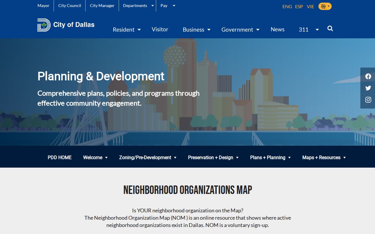
Use the map to understand a neighborhood, HOA, or coalition area, then rely on parcels and recorded documents for property-specific questions.
Dallas Records and Private Tools
Official and commercial neighbor tools answer different questions. An official parcel or deed record identifies its custodian, record type, and date, but it may not establish who occupies a location. A commercial tool may combine sources into a convenient display, yet it can carry stale, incomplete, or mismatched claims and may not reveal its record date. Compare an assertion against the Dallas County custodian that created the underlying record.
| Source type | Useful for | Limit to keep in mind |
|---|---|---|
| Official parcel, appraisal, or deed record | Documented property and recorded-party facts | May identify an owner or party rather than an occupant |
| Official election or community source | Dated civic or registration context | Protection, suppression, and scope limits apply |
| Commercial neighbor tool | A possible lead to verify independently | May be outdated, incomplete, or lack a clear source date |
For Dallas County records that are not available in a normal portal, make a specific request through the correct office. The Texas Public Information Act process is not a substitute for the ordinary index, map, library, or Clerk route when those records already have a direct access channel.
Dallas Historic Block Records
A dated street directory can add a useful historical view of the same block. Dallas Public Library’s History and Archives collections include directories, newspapers, maps, microfilm, and older county-agency records. The Portal to Texas History has digitized Dallas directory material, including address pages. A street listing can show a rear unit, a vacancy, or an intersection note. Read those details with the edition’s abbreviation key and compare adjacent numbers in the same edition before carrying a name forward.
Historic addresses need an extra map check. Dallas streets were renumbered around 1891-92 and again during the major downtown renumbering effective in 1911. An old printed number is not automatically today’s parcel. Pair it with a street grid, intersection, plat, or legal description. For a house-history trail, the library and archive route complements the current map but does not replace it.
Note: A directory lists what its edition printed at an address, and an annual gap or vacant line should not be read as continuous occupancy evidence.
Dallas Block Privacy Records
The question of Dallas neighbors has firm limits. Texas Address Confidentiality Program participants can use protected substitute-address procedures, and some voter information is suppressed or protected. Vital, juvenile, sealed, expunged, adoption, victim, and selected family records may be unavailable or redacted. Utility and delivery information is not a public neighborhood directory. The fact that a map, appraisal account, or historical listing is public does not permit broad copying of a person’s personal data.
Use the least amount of detail needed to answer a lawful personal question about a block, family history, a property, or community context. Keep the source URL and date inspected, and contact the original custodian if a source is unclear. A failed lookup can reflect an address change, a protected field, or a source that does not cover the question.