
Find a Dallas Street by Address
A street search starts with the physical parcel, called the situs address by the Dallas Central Appraisal District. That record can identify an account, a legal description, and the owner named for appraisal purposes. It does not prove that the named owner lives there. A deed search can establish recorded parties and a historical chain, while a directory or an election record can add a dated clue about a person at an address. Keeping those roles separate makes an address search more useful and less likely to confuse ownership with occupancy.
- Open the DCAD street-address search. Enter the number and street name, then save the account number, situs, and legal description from a matching account.
- Use the parcel map to compare the account with nearby polygons, a road centerline, and any city or ZIP boundary that crosses the street.
- Search the owner name, subdivision, or legal description in the Dallas County Official Records Search. Record the instrument number and party roles before seeking an image.
- Treat Texas voter material as an election record. It may be dated, protected, or suppressed, and it is not a free-form list of current households.
- For an earlier household, compare the same address in a dated street or criss-cross directory at Dallas Public Library. A criss-cross directory is arranged from address to name.
For a whole block rather than a named road, the parcel-first method on the Dallas neighbors page keeps the focus on touching parcels and community boundaries.
Search the Dallas Street Directory in DCAD
DCAD’s address mode is the best first stop for a current Dallas County parcel. The form works differently from a name directory: it accepts a number or a number range, requires at least two characters of the street name, and advises users to omit the street type. Run the available account-type choices separately when they matter. A blue property-address result opens the account details. If a result is missing, remove extra terms before assuming the address is absent.
| DCAD field | Use in a Dallas street search | Format or limit |
|---|---|---|
| Address Number | Start a single-address search | Numbers only |
| From / To | Review a segment of a street | One number or both range endpoints |
| Direction | Separate similarly named roads | Dropdown choices were not exposed in the capture |
| Street Name | Find the road | Required, two-character minimum, no spaces |
| Building / Suite | Distinguish a multiunit address | Optional fields |
| City | Narrow a repeated street name | Dropdown selector |
| Account Type | Choose the record category | Residential, commercial, or BPP |
The address form also documents the % wildcard, such as %oak for an uncertain spelling. It is a parcel lookup, not a present-resident lookup. The resulting card may show an entity owner or a mailing address away from the property.
The DCAD address-search form is shown here with the fields used for a Dallas address search.
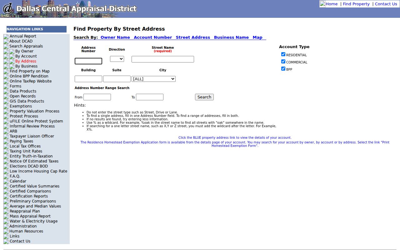
Use the number and street controls to establish the parcel first, then carry only verified account details to the map and Clerk index.
Dallas Street Addresses Mean Different Things
Four address layers can appear in one Dallas street directory investigation. The situs is the property’s physical location in DCAD. The owner mailing address is where tax or appraisal correspondence goes and may be a different Dallas-area address, a post-office address, another county, or a business. The recorded instrument may use a subdivision, block, lot, acreage, or abstract rather than a modern house number. A dated directory address is simply what that edition printed, sometimes with a rear unit, a room marker, or a vacant notation.
- Parcel
- A mapped unit of land tied to a DCAD account and legal description.
- Situs address
- The physical location used by DCAD and parcel mapping.
- Plat
- A recorded map that can show a subdivision’s lots, blocks, and street layout.
- Criss-cross directory
- A directory arranged by address, useful for a dated address-to-name check.
The 2026 DCAD sample illustrates the distinction: its parcel situs is in Carrollton, the owner mailing address is in Richardson, and the owner is an LLC. Those three fields are useful record facts, but none alone establishes who occupies the property. Compare the account’s legal description with a Clerk instrument before treating an address match as a property conclusion.
Dallas Street Record Trail
Address-keyed records form a chain, not a single answer. Begin with the DCAD account and keep the legal description beside the street address. The Dallas County GIS viewer helps place the parcel among nearby land and municipal boundaries. The County Clerk index supplies recorded-party and instrument data. City archives can add a permit, plat, agreement, or plan date. Historical directories and election materials are separate, time-stamped evidence layers rather than proof that every person at an address was a resident.
| Dallas record source | Street-level detail | Best access route | Key caution |
|---|---|---|---|
| DCAD property account | Account, owner, mailing address, situs, legal description, values | Free online search | Not legal title or proof of occupancy |
| GIS parcel layers | Parcels, roads, subdivisions, and jurisdiction context | Online map | Recorded deed controls legal boundary |
| County Clerk official records | Grantor, grantee, instrument, date, and legal description | Free index; image or copy route | Recorded party may not live there |
| City permit and planning records | Address, permit, plan, or alteration date | Online search or request | Applicant is only a clue |
| Directories and election files | Dated address or registration evidence | Library, archive, or election source | Gaps, protections, and staleness apply |
A DCAD account number does not replace a deed instrument number. One points to the appraisal account; the other identifies the recorded document. When a street crosses a municipal or ZIP edge, add direction, city, subdivision, and legal description rather than relying on the street name alone.
Note: An address-record result is strongest when the parcel, record date, and source type are written down together before comparison.
Follow a Dallas Street Deed Chain
The County Clerk’s Official Records Search is the recorded-instrument route for a Dallas street directory inquiry. Select a department before searching. Its Quick Search accepts a grantor or grantee, subdivision, document type, or document number, plus a recorded-date range. Begin with the current owner or legal description from DCAD, then search grantor and grantee separately. Capture the document number, date, party role, document type, and legal description. A grantor is a prior title party, not automatically a former occupant.
| Carry forward from the Clerk index | Why it matters |
|---|---|
| Department and search term | Makes the search scope reproducible |
| Instrument or document number | Identifies the item for image or copy requests |
| Recorded date and document type | Places the recorded event in time |
| Grantor and grantee roles | Separates the parties in the conveyance |
| Subdivision or legal description | Connects an instrument to a parcel when numbers change |
The free index and the document-image or certification cart are separate steps. For a mailed request, the Recording Division form accepts a recorded name, grantor or grantee, instrument number, document type, and property address. Plain copies are $1 per page; certified copies are $1 per page plus $5 certification. The form requires approved payment and a prepaid self-addressed envelope.
The Dallas County Clerk Recording Division is the source for the office guidance shown below.
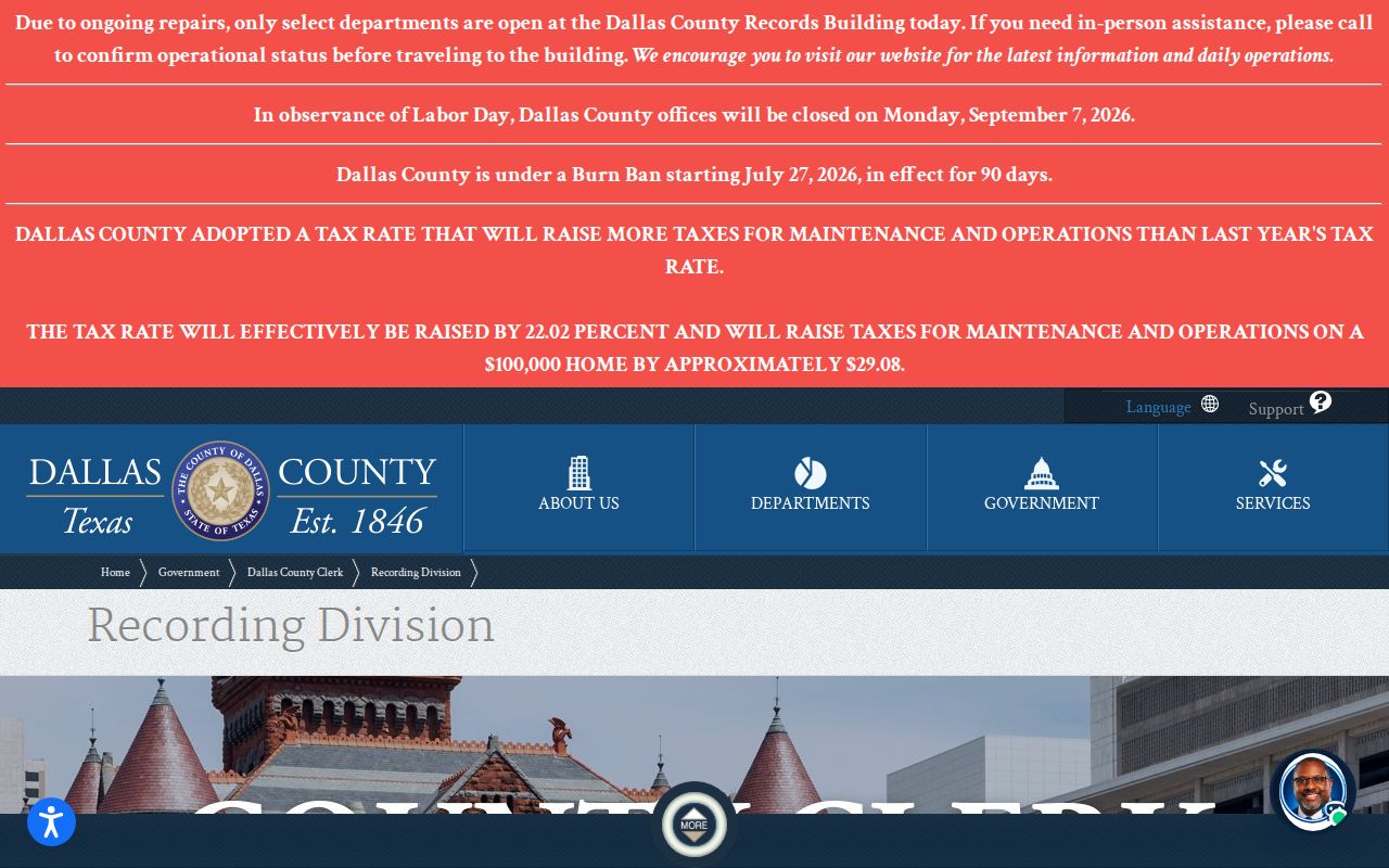
When an image is needed, use the Clerk’s cart or the documented mail route instead of assuming that an index hit includes a viewable deed.
Use Dallas Street Parcels Before Names
The Dallas County GIS viewer and DCAD map services are useful for the geography around a street. Available data products include current and historic parcels, parcel dimensions, parcel IDs, subdivisions, municipal and county boundaries, schools, special districts, neighborhoods, roads, and water features. Search an address, click the parcel and adjacent polygons, save the nearby account IDs and addresses, then compare those records in DCAD. The map is a reference layer. Deeds at the County Clerk define the legal parcel boundary.
This order matters at a corner, cul-de-sac, alley, or rear parcel. The next street number might be separated by a road, rail line, water, or another legal tract. A whole-street search should therefore use the mapped segment and legal descriptions before grouping houses by a casual notion of proximity.
Dallas County’s record-search landing page brings together the Clerk, court, deed, and other county routes when a parcel search points to a different record custodian.
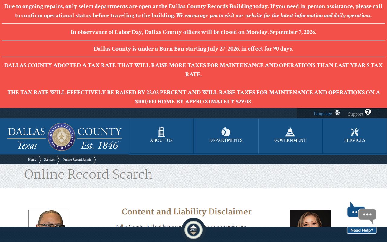
The county route list is useful once the address trail moves beyond an appraisal card, but each record type still has its own custodian and limits.
Dallas Street Numbers Changed in 1911
A current address can fail to find a historic directory entry for a real reason. Dallas research material identifies street-number changes around 1891-92 and a major downtown renumbering effective in 1911. Before assigning an old printed number to a modern parcel, preserve the directory spelling and year, identify intersections or a subdivision, and consult a map or plat. Search the old number only after testing the street grid and adjoining addresses.
The Dallas Municipal Archives street-history material covers town layout, street grids, names, numbering, and research tips. Dallas Public Library and the Portal to Texas History provide the dated directory layer. A standard alphabetic entry runs from name to address; only a volume with a street or reverse section works as address-to-name evidence.
The Municipal Archives street-history page is pictured below for this Dallas street directory research step.
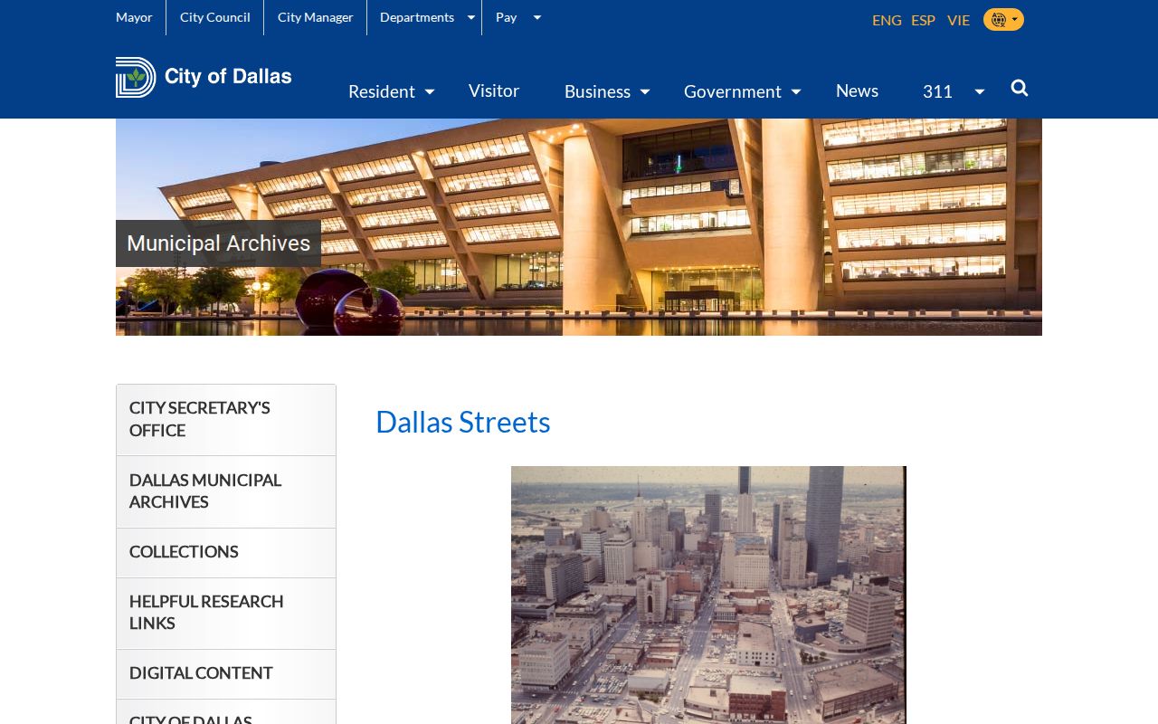
Use the archive’s grid and numbering evidence to test a historic address, then return to current parcel and Clerk records only after the conversion is credible.
Dallas Street Records Beyond Web Search
Online access is not the only Dallas street directory channel. The County Clerk Recording Division counter is in the Records Building at 500 Elm Street, Suite 2100, with weekday hours of 8:00 a.m. to 4:30 p.m. and phone 214-653-7099. The mail copy form is the fallback for a known document. For appraisal material, DCAD’s public-information route asks for a specific account or address, documents, and years; requests may be sent by email, mail, or pickup depending on size.
Older deed books and closed material can require Central Records, Dallas Public Library’s Regional Historical Resource Depository, or Texas State Library microfilm. Central Records announced a temporary service change effective April 6, 2026: selected civil, criminal, and probate years are limited to in-person access during a facility move, and email requests are paused for the stated period. Check the current notice before travel. For permits, plats, and historical plans, use Dallas Public Research Archives or a written request when the online record is incomplete.
Note: For a record not already online, name the address, account or instrument, document type, and year instead of requesting every file.
Dallas Street Postal Boundaries
Dallas County streets can cross city and ZIP boundaries. A ZIP code is USPS delivery geography, not a city limit or a parcel boundary. DCAD’s county ZIP layer is useful for map context, while USPS By Address is the practical check for a particular delivery address. A city name on an appraisal card, a USPS preferred city, and the municipality for a parcel can differ without any source being wrong.
For streets near a boundary, keep the direction, municipality, ZIP, subdivision, and account number with the result. This prevents a same-named road in another Dallas County community from being folded into the wrong street directory trail.
Respect Dallas Street Directory Limits
A Dallas street directory does not reveal every household member. An appraisal owner may be an entity, trustee, estate, or person whose mailing address is elsewhere. A deed establishes a recorded party and a voter source documents an election-related record, not an unrestricted household roster. Some Texas voter information is suppressed or protected. Address Confidentiality Program participants and eligible protected officials can have special protections, and a failed search does not disprove residence.
Use only the minimum detail needed for a personal, lawful property, family-history, or neighborhood question. Keep the source and date with any note, and seek the custodian when a record is unclear. The Texas Public Information Act, Texas Government Code chapter 552, governs many requests but does not erase record-specific confidentiality rules.